


Noticia
Community involvement representatives attended a course on Geographic Information Systems
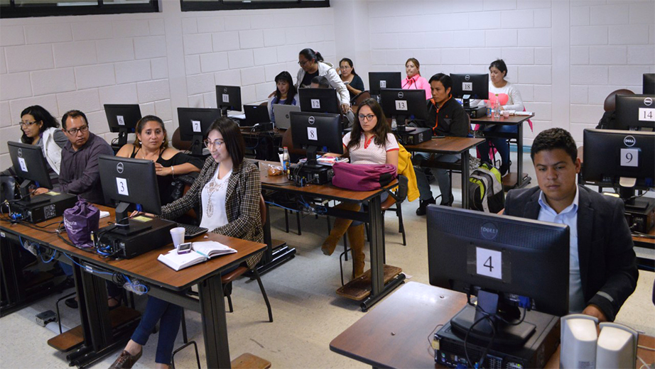
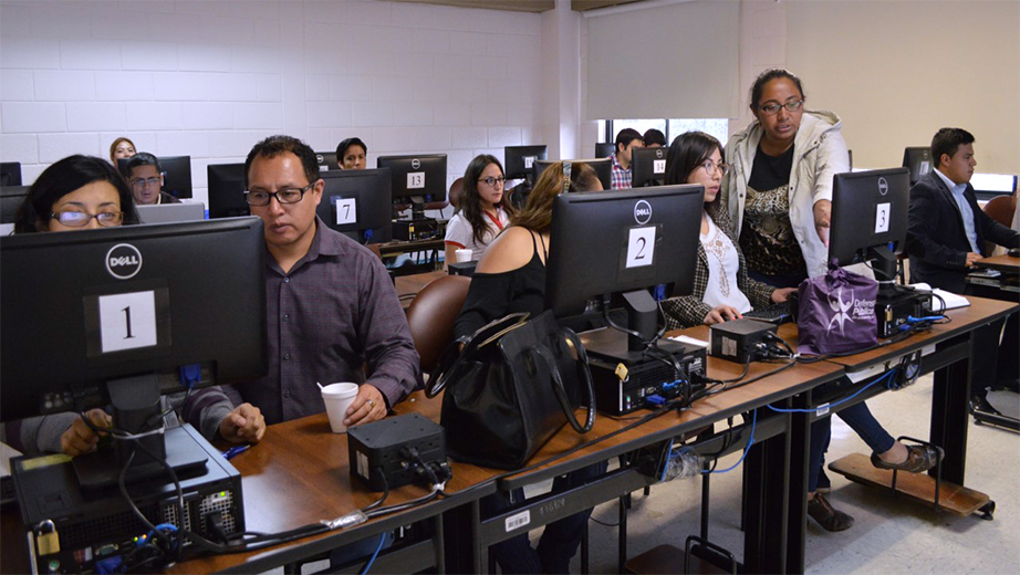
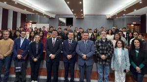
From the 6th to the 8th April, staff who work in the area of community involvement in Ecuadorian Higher Education Institutions attended a course on Geographic Information Systems with free software. This event was organized by the university's branch campus in Quito and Universidad de las Americas, as part of the Ecuadorian University Network of Community Involvement.
The course was led by professor Catalina Sandoval and the aim was to provide information about the software and its application as a response to the needs of several sectors by strengthening skills. Representatives from the following universities attended: Universidad Estatal del Amazonas, Universidad Central del Ecuador, Universidad Técnica Particular de Loja, Escuela Superior Politécnica del Chimborazo, Universidad Técnica del Norte (Ibarra), Instituto Técnico Superior Benito Juárez and Universidad Politécnica Salesiana.
The Geographic Information System (GIS) is a system for management, analysis and observation of geographic knowledge that is structured in different groups of information. GIS were developed in order to obtain, manage, interpret and analyze information in a faster, more precise and inexpensive way. "All the members work according to the system and can generate, manage, analyze and exchange information for decision making", said Sandoval.
The topics were:
- Introduction to Geographic Information Systems
- Coordinate and projection systems, vector data model
- Observation of information
- Vector data model
- Editing and generation of information
- Composition of maps
The 40 hour course was divided into 16 hours of interaction, 19 hours of practice and 5 hours of autonomous work.
Noticias Relacionadas
Noticias Relacionadas

Follow us
Follow us